French School, late eighteenth century
French School, late eighteenth century
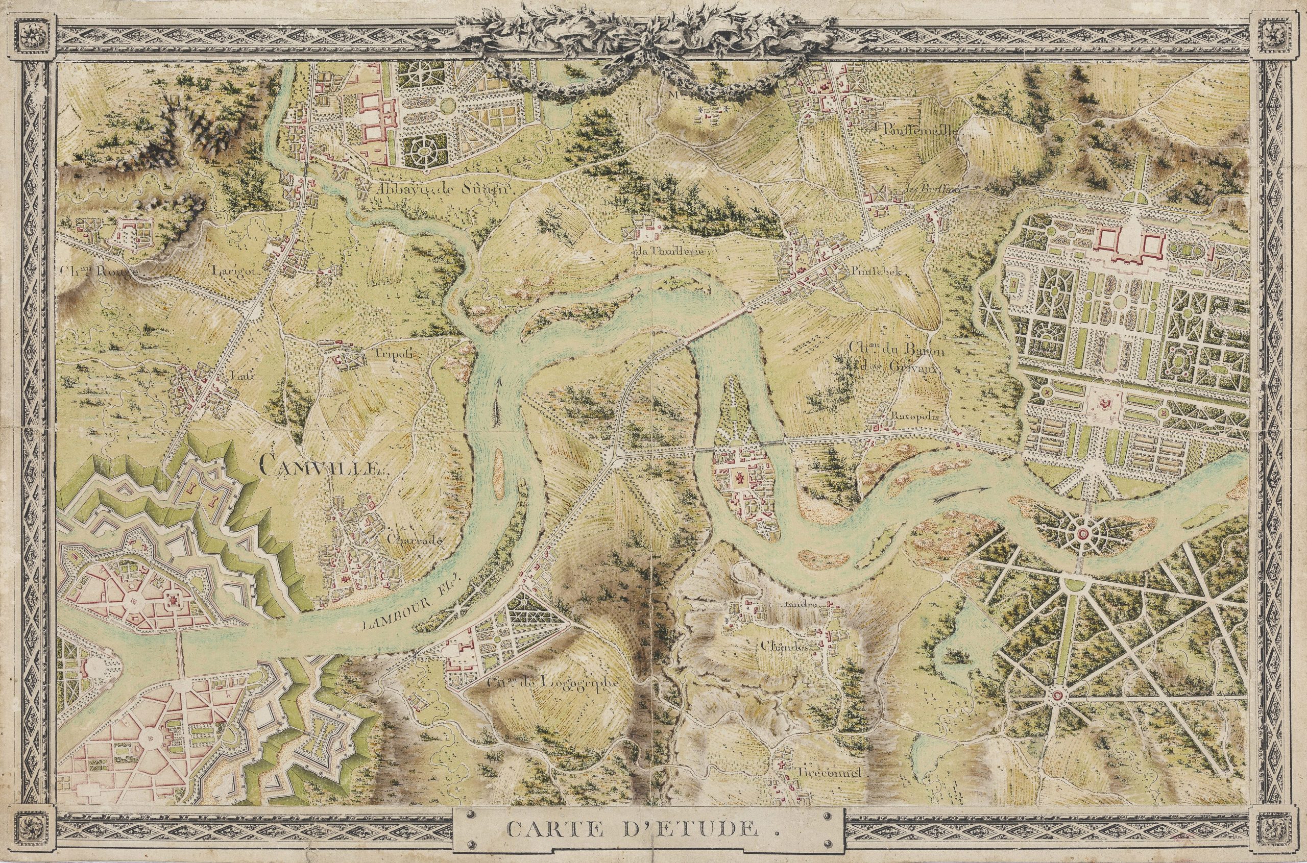
‘Carte d’Etude’: a trompe l’oeil ‘engraving’ of an imaginary territorial map
Pen and black ink, watercolour, with border in black ink and grey wash on separate strips of paper, glued to the main sheet, watermark D&C Blauw, outer dimensions 315 x 480 mm (12.4 x 18.9 inch)
Inscribed ‘CARTE D’ETUDE’ (lower middle) and with many other imaginary topographical names (pen and black ink)
Provenance
Private collection, Germany
***
This recently discovered drawing is a trompe-l’oeil drawn imitation of an engraved map, related to similar examples preserved among the collections of the École Nationale des Ponts et Chaussées in Paris, some of which were discussed in the catalogue of a recent exhibition dedicated to the trompe-l’oeil theme in the Musée Marmottan Monet, Paris.1
Founded in 1747 by Daniel-Charles Trudaine and Jean-Rodolphe Perronet, the École is oldest extant school for civil engineering in the world, and among the greatest grandes écoles in France, focussing on civil engineering and construction, planning of towns, cities, bridges and waterworks, military defensive works and complex urban developments.2
Among many other skills, students were taught highly specialised drawing methods, including land-surveys and designs for maps and plans. The present anonymous drawing is highly comparable to some drawings which are preserved in the archives of the École, and it can be presumed it was executed by one of its students, presumably in the last quarter of the eighteenth century. In order to coordinate their actions and standardise their knowledge, future engineers trained each other and were assessed annually through a series of tests: mathematics, construction, stereotomy, essay, plan survey, theory and practice of levelling, surveying of building works, writing and drawing.
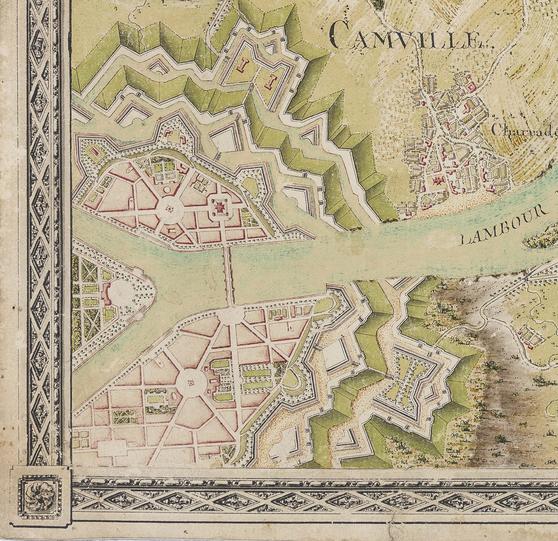
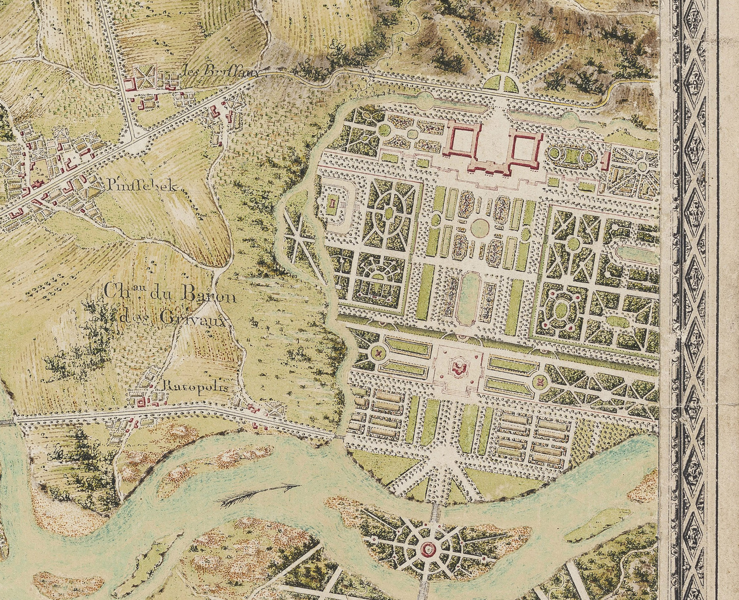
The present drawing shows an undulating imaginary river ‘Lambour’, flowing through a fortified town, along an imaginary abbey and a country estate, ‘Chateau du Baron de Grivaux’, with elaborate formal gardens in the Baroque manner, and a variety of other imaginary geographical features, all intended to educate the anonymous draughtsman. The separately applied black ink and wash drawn borders in the Neoclassical fashion resemble engraved borders, and add to the trompe-l’oeil-effect.
Trompe-l’oeil flourished in Europe especially from the middle of the seventeenth century, reaching a culmination during the eighteenth century, often breaking free from the frame and representing objects on a 1:1 scale. The genre was restricted to shallow depths and the play of contrasts and shadows. These images extend the theme of the cabinet of curiosities with low-relief artefacts: superimposed fake prints, creased or torn papers, medallions pinned to textured velvet or wooden backgrounds that the hand is tempted to touch. Pushed to its extreme, the ultimate illusion by the Flemish Cornelis Norbertus Gysbrechts depicts the back of a frame.
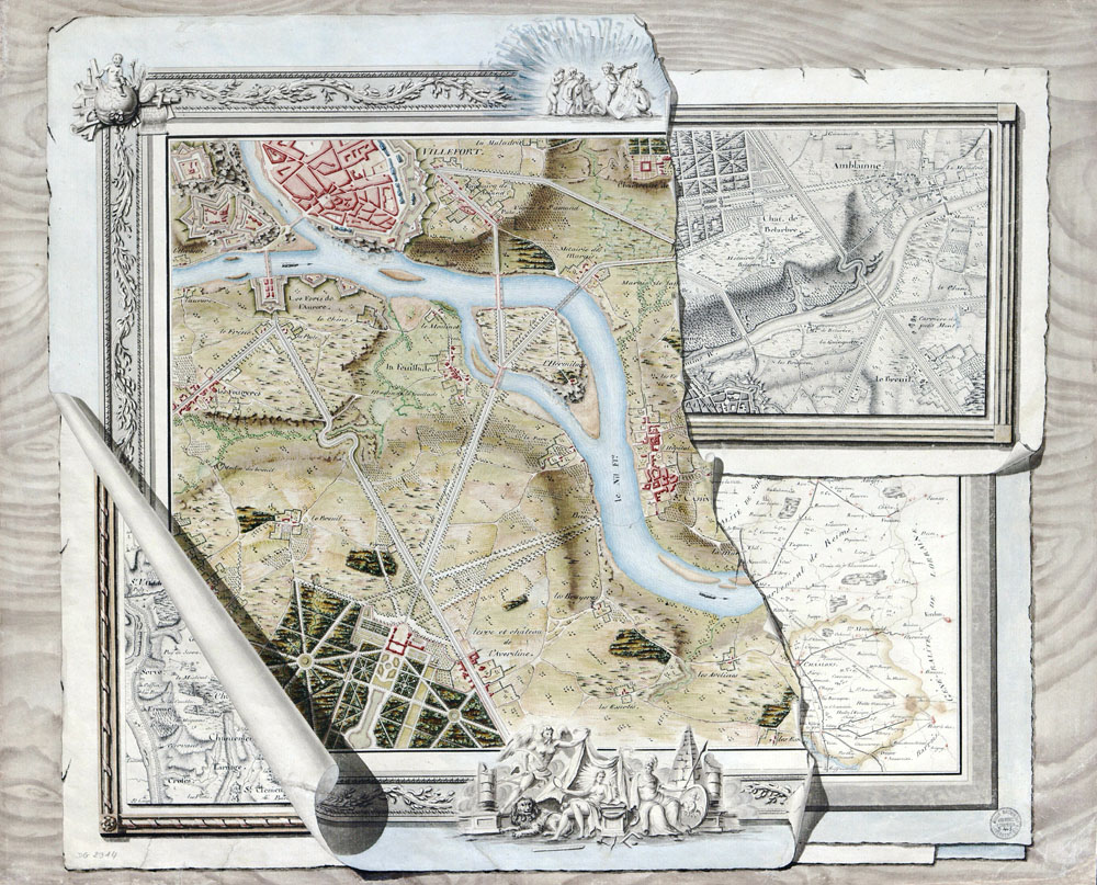
From 1775 onwards in the École, the construction of the map was tested and further developed. Breaking free from reality, a medium for demonstrations of virtuosity, the map conjured up all kinds of configurations on imaginary territories, anchored in the realm of the plausible, thanks to the layout of roads, rivers, and bridges. The present work can for instance be compared to the even more elaborate trompe-l’oeil drawing known as Concours de Carte (fig.).3
1. Sylvie Carlier and Aurélie Gavoille (eds.), Le trompe-l’oeil, de 1520 à nos jours / Trompe-l’oeil: from 1520 to today, exhib. cat. Paris (Musée Marmottan Monet) 2024–25.
2. For comparable drawings, see Antoine Picon and Yvon Michel, L’ingénieur artiste Dessins anciens de l’Ecole des Ponts et Chaussées, Paris 1989.
3. Collections de l’École nationale des Ponts et chaussées, inv. no. DG 2914.